Altrincham was established as a formal commercial hub in the thirteenth century under the direct governance of the Norman elite. The regional administrative system shifted significantly when Baron Hamon de Massey V granted a charter in 1290 to establish the area as a free borough, which allowed local merchants to trade without paying tolls to the lord of the manor. This foundational document initiated a weekly market system that transformed a minor agricultural settlement into a critical trading point between the rural farms of Cheshire and the urbanizing populations of the north.
- Which Hidden Architectural Spaces Define the Core of Altrincham?
- How Did Industrial Infrastructure Shape the Secret Geography of Broadheath?
- What Are the Hidden Historical Curiosities of the Stamford Estate and Dunham Massey?
- How Do Unexplored Green Spaces and Modern Woodland Hidden Gems Function Today?
- How Did the Bravest Little Street in England Earn Its Historical Distinction?
- What Is the Hidden Musical and Cultural Legacy of the Altrincham District?
- FAQs About Hidden Gems in Altrincham
- What was the function of the Court of Pye Powder in Altrincham?
- Why was Chapel Street called the bravest little street in England?
- How did the Bridgewater Canal affect the economy of Altrincham?
- What archaeological discoveries were made at the Knoll on Stamford Street?
- Can you drive directly to the Into the Wild woodland installation in Hale?
The economic structure of the medieval borough relied on the layout of burgage plots, which were long strips of land rented by burgesses for residential and commercial purposes. Archaeological excavations conducted by the South Trafford Archaeological Group at the Knoll on Stamford Street revealed structural evidence of timber-framed dwellings dating back to the fourteenth century, including an integrated drying kiln used for malting grain. This discovery confirms that the town maintained organized agricultural processing facilities alongside its standard market operations.
The early judicial and administrative landscape of the town operated through the Court Leet, an institutional legal assembly managed by the lord of the manor to maintain the public peace, regulate weights and measures, and appoint the town mayor. During the annual multi-day market events, which became formally known as St James’s Fair or Samjam in 1319, a specialized legal entity called the Court of Pye Powder was convened. This temporary tribunal resolved immediate commercial disputes among traveling merchants, whose name derived from the French phrase for dusty feet.
Which Hidden Architectural Spaces Define the Core of Altrincham?
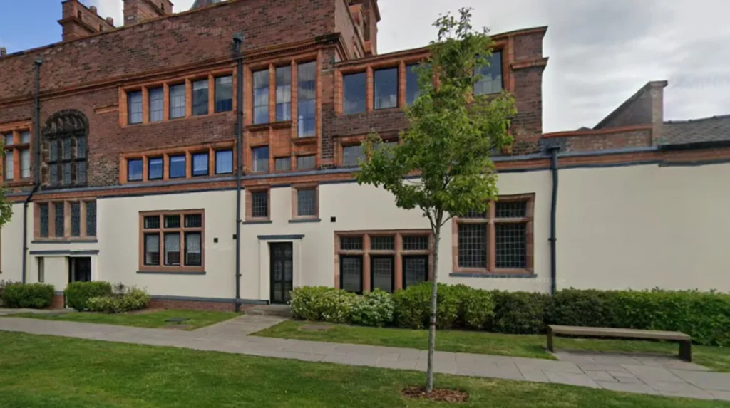
The modern urban layout of the town conceals several structural adaptations that reflect its transformation from an early administrative borough to an industrial center. The Old Market Tavern preserves the structural envelope of the original Town Hall built in 1849, which was funded by George Grey, the Seventh Earl of Stamford, to accommodate the regular meetings of the Court Leet. This building features distinctive stone masonry and classical architectural lines that contrast sharply with the surrounding commercial shopfronts.
Goose Green represents an early industrial courtyard that has transitioned into a pedestrianized civic space away from the main thoroughfares. This hidden square preserves nineteenth-century workshop footprints that originally housed local craftsmen, shoemakers, and blacksmiths who serviced the adjacent market trade. The spatial configuration of the square limits vehicular access, which preserves the original flagstone surfaces and the tight enclosure pattern characteristic of Victorian commercial courtyards.
The architectural heritage of the area also includes pioneering social infrastructure projects, such as the teetotal public house constructed at the intersection of Lloyd Street and Ashley Road during the late Victorian era. This specific building was built to counter the high density of standard licensed alcohol premises, which numbered approximately 200 locations across the district during the nineteenth century. The structural facade remains intact, showcasing decorative brickwork designs that reflect the influence of the regional temperance movement.
How Did Industrial Infrastructure Shape the Secret Geography of Broadheath?
The northern sector of the borough underwent a complete geographical restructuring following the completion of the Bridgewater Canal extension through the area in 1765. The introduction of this inland waterway connected the agricultural fields of Altrincham directly to the industrial center of Manchester, which triggered a massive expansion in regional market gardening. Local farmers utilized the canal network to transport massive quantities of vegetables, particularly carrots and onions, earning the district a reputation as a primary agricultural supply base for the industrial working class.
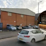
The construction of large-scale canal warehouses in 1767 established Broadheath as the first planned industrial estate in northwest England. By the year 1914, fourteen major manufacturing corporations operated within this designated industrial corridor, creating an immense employment network that attracted thousands of workers from across the country. Among these facilities was the Budenberg Gauge Company, which specialized in the production of high-precision industrial pressure gauges and instrumentation.
The Linotype and Machinery Company became the dominant industrial employer in the district, constructing a massive factory complex dedicated to manufacturing mechanized typesetting machines. To accommodate the sudden influx of manufacturing personnel, the corporation constructed an entire residential community consisting of 172 model workers’ homes adjacent to the main factory site. This hidden industrial village included dedicated allotments, open recreational green spaces, and community institutes that formed a self-contained ecosystem separate from the medieval core of the town.
What Are the Hidden Historical Curiosities of the Stamford Estate and Dunham Massey?
The territorial development of the borough remained deeply connected to the Stamford estate, which was centered at Dunham Massey Hall and managed by the Earls of Stamford for multiple centuries. The estate grounds contain three Grade I listed buildings and an expansive deer park that dates back to the medieval period, housing a herd of fallow deer. This parkland served as a private hunting ground before evolving into a managed agricultural and ecological reserve.
The estate records document unusual social interactions and events, including nineteenth-century records of an individual attempting to execute a formal sale of his wife within the boundaries of the local market. The Stamford estate also contains architectural works commissioned by William Cunliffe Brooks, an eccentric wealthy banker who altered the local landscape by funding distinctive estate cottages and public infrastructure. His building projects incorporated elaborate decorative flourishes, defensive architectural themes, and stone inscriptions reflecting personal philosophical maxims.
During the First World War, the Stamford estate was transformed into a military sanatorium to treat wounded soldiers returning from the European battlefields. The Great Hall inside Dunham Massey was converted into an auxiliary hospital containing 135 beds, operating under the direct administration of the British Red Cross between 1917 and 1919. This medical facility provided specialized convalescent care, therapeutic treatment, and surgical recovery options for over 3,000 military personnel.
How Do Unexplored Green Spaces and Modern Woodland Hidden Gems Function Today?
The modern geography of the borough includes several secluded parklands and ecological installations that provide environmental relief from urban development. John Leigh Park functions as a preserved Victorian landscape that features large specimen trees, formal aviary structures, and traditional recreational lawns located away from the primary transport routes. This public parkland preserves the mid-nineteenth-century layout designed to offer open spaces for the expanding industrial workforce.
A separate woodland development known as Into the Wild operates as a specialized ecological and community installation situated in the dense forestry south of Hale village. This unique venue requires visitors to arrive exclusively on foot via designated walking paths, intentionally restricting vehicular traffic to protect the local woodland ecosystem. The site integrates wood-fired culinary facilities using century-old sourdough starters alongside survival training centers and bushcraft schools.
This woodland infrastructure also provides educational programs aimed at developing wilderness survival skills, fire-lighting techniques, and foraging awareness among younger populations. The installation uses low-impact marquee structures and timber huts to host cultural events, acoustic musical performances, and outdoor film screenings beneath the forest canopy. This modern adaptation represents a shift toward sustainable, nature-focused experiential destinations within the Trafford district.
How Did the Bravest Little Street in England Earn Its Historical Distinction?
The civic history of the borough includes a notable concentration of military enlistment on Chapel Street during the opening stages of the First World War. This residential street consisted of sixty small terraced houses that were primarily occupied by low-income working-class families and Irish immigrants. Despite the challenging economic conditions, a total of 161 men from this single street volunteered for active military service within the British Armed Forces.
The scale of this voluntary mobilization resulted in significant losses, with twenty-nine men from Chapel Street killed in action during the conflict, while many surviving veterans returned with permanent physical injuries. In recognition of this immense communal contribution, King George V issued a formal commendation that designated the location as the bravest little street in England. A dedicated permanent memorial stands near the original street site to preserve the memory of this specific neighborhood.
The post-war era brought structural changes to the neighborhood, resulting in the eventual demolition of the original terraced cottages during the slum clearance programs of the 1930s. The residents were relocated to new council housing estates in the surrounding suburbs, which fractured the original tight-knit geographic community. The modern site serves as a historical focal point, ensuring that the wartime sacrifices made by the local families remain integrated into the modern identity of the town.
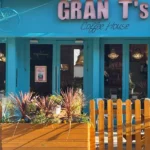
What Is the Hidden Musical and Cultural Legacy of the Altrincham District?
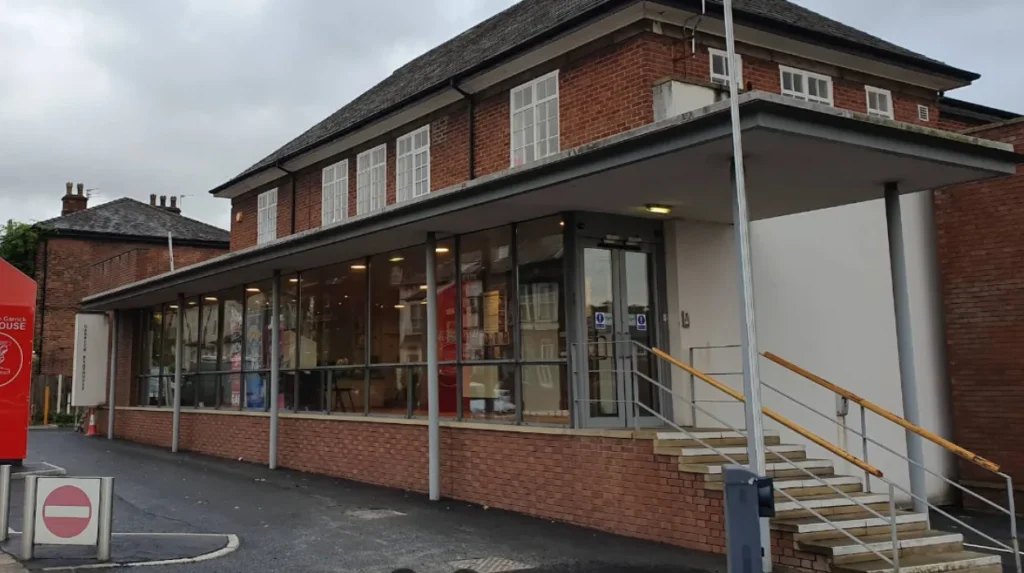
The cultural infrastructure of the town extends beyond its historic market stalls into the modern independent entertainment sector. The Altrincham Garrick Playhouse represents a critical landmark for community theatre, operating continuously since its establishment in 1932 to provide high-quality dramatic productions, musicals, and classical pantomimes. This venue remains an independent institution funded entirely through community ticket sales and volunteer management, maintaining an active performance calendar.
The regional music industry also possesses deep roots within the local venues and recording spaces of the town during the late twentieth century. Prominent independent musical acts from the Manchester scene, including bands like The Smiths and The Stone Roses, frequently utilized local rehearsal rooms and performance bars during their early development. Key regional music management firms, such as Kennedy Street Enterprises, actively organized local concert events that helped establish the town as a stepping stone for rising national musical talent.
Modern artistic expression continues through public installations like the Bee-bop-a-raver sculpture, a five-foot public artwork inspired by the intense musical heritage of Greater Manchester. This sculpture commemorates the intersection of youth subcultures, independent record stores, and live performance venues that flourished in the region during the 1980s and 1990s. The preservation of these creative milestones ensures that the modern town retains a distinct cultural identity separate from the major commercial centers of neighboring cities.
Free Cultural Institutions: For a detailed breakdown of zero-cost historical archives and exhibits across the county, browse Best Free Museums in Manchester.
FAQs About Hidden Gems in Altrincham
What was the function of the Court of Pye Powder in Altrincham?
The Court of Pye Powder was a temporary medieval tribunal established during major trade fairs to settle immediate commercial arguments among traveling merchants. Managed directly by the town mayor and the local Court Leet, it ensured quick justice for non-resident traders who needed disputes resolved before traveling to their next marketplace destination.
Why was Chapel Street called the bravest little street in England?
King George V gave Chapel Street this formal title during the First World War because 161 men volunteered for active military service from just sixty small terraced houses. The neighborhood suffered twenty-nine casualties during the war, making it one of the highest concentrations of voluntary military enlistment in the entire United Kingdom.
How did the Bridgewater Canal affect the economy of Altrincham?
The opening of the Bridgewater Canal in 1765 connected Altrincham directly to the industrial factories of Manchester, turning the agricultural town into a primary market gardening hub. It allowed local farmers to rapidly transport high volumes of freshly grown vegetables to feed the expanding urban workforce of the city.
What archaeological discoveries were made at the Knoll on Stamford Street?
Excavations carried out by the South Trafford Archaeological Group uncovered timber-framed residential structures dating to the thirteenth and fourteenth centuries. The discovery included an early built-in drying kiln and a malting floor, proving that the medieval town center possessed advanced agricultural processing capabilities.
Can you drive directly to the Into the Wild woodland installation in Hale?
Vehicular transport is strictly banned within the immediate grounds of the Into the Wild installation to safeguard the surrounding woodland environment from pollution. Visitors must park outside the protected ecological zone and enter exclusively on foot using one of several designated public walking trails.