The M12 Manchester postcode district covers vital urban inner-city neighborhoods positioned immediately southeast of Manchester City Centre, including Ardwick, Longsight, West Gorton, and Belle Vue. Geographically managed by the Royal Mail postal system, this postal region spans approximately 1.75 square miles within the Metropolitan Borough of Manchester. The northern boundary connects directly to the M1 city center postal code, while the southern limits touch the M19 Levenshulme sector. Key transport thoroughfares like A6 Stockport Road and A57 Hyde Road traverse this specific district, acting as major transit routes into central commercial zones.
- What Is the Operational History and Origin of the M12 Postal Code?
- How Does the M12 Real Estate Market Perform for Buyers and Investors?
- What Key Infrastructure and Transport Links Serve the M12 Area?
- How Does M12 Compare to Adjacent Manchester Postcode Districts?
- What Future Developments and Urban Regeneration Projects Are Planned for M12?
- Frequently Asked Questions
The geography of the region consists of a mixture of traditional Victorian terraced housing, modern residential redevelopments, and established industrial estates. Royal Mail splits M12 into specific sectors including M12 4, M12 5, and M12 6, alongside non-geographic PO Box codes like M12 0. The M12 4 sector principally encompasses West Gorton and parts of Longsight, whereas M12 5 covers eastern Longsight and Belle Vue. Sector M12 6 encompasses the immediate Ardwick zone, positioning it closest to Piccadilly station and the inner ring road network.
M12 Postcode District Structure
├── M12 0 (Non-Geographic / Commercial PO Boxes)
├── M12 4 (West Gorton & Central Longsight)
├── M12 5 (East Longsight & Belle Vue)
└── M12 6 (Ardwick Industrial & Residential Corridor)
Demographically, the postal district represents an exceptionally diverse urban population center. Historical census data reveals a resident population of over 19,400 people within the boundary lines, with high population density due to compact housing layouts. The area features prominent institutional infrastructure including schools, community health centers, and commercial parks. The administrative oversight falls under the jurisdiction of Manchester City Council, which manages local services, planning permissions, and waste management routines.
Urban regeneration efforts have transformed industrial legacy sites across West Gorton and Ardwick into functional housing estates. The proximity to higher education institutions like the University of Manchester has shifted tenancy dynamics toward student housing and young professional rentals. These demographic adjustments influence public transit demand, business development, and residential property valuations.
What Is the Operational History and Origin of the M12 Postal Code?
The M12 postal designation originated from the national alphanumeric postal code rollout implemented by Royal Mail between 1959 and 1974 to streamline automated sorting processes. Prior to standard automation, Manchester used single or double-digit regional delivery districts established during the nineteenth century. Under the initial radial numbering scheme, the M12 area represented the inner-southeastern sector radiating outward from the central sorting office. The establishment of this alphanumeric marker allowed precise sorting for residential streets and growing manufacturing centers along Hyde Road.
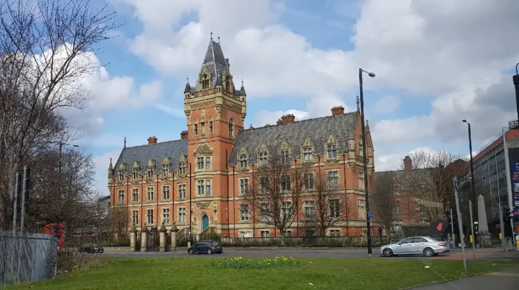
Industrialization during the nineteenth century shaped the initial physical footprint of the M12 zone. Dense terraced housing was constructed to accommodate workers employed in heavy engineering works, locomotive manufacturing, and textile processing facilities. Facilities like the Gorton Locomotive Works operated near the district edges, creating demand for localized postal delivery systems. The expansion of rail infrastructure, including Ashburys station and Ardwick station, anchored logistics hubs that relied on accurate geographical sorting codes.
1850s–1950s: Industrial expansion and manual district postal sorting
     │
1959–1974: Standardized Royal Mail rollout establishes modern M12 prefix
     │
1980s–2000s: Industrial site clearance and housing estate regeneration
     │
Present Day: Integration into digital logistics, e-commerce, and city expansion
Post-war urban clearance initiatives during the mid-twentieth century altered street layouts across Ardwick and West Gorton. High-rise social housing projects replaced older housing stock, requiring Royal Mail to update internal street indices and sector assignments. Substantial urban renewal schemes in the late 1990s and 2000s demolished several tower blocks, replacing them with low-rise family housing and modern apartment complexes. These spatial changes required ongoing administrative adjustments to delivery routes while maintaining the overarching M12 postal umbrella.
The economic shift from industrial manufacturing to service industries altered business usage of the M12 code. Former manufacturing yards were redeveloped into modern light industrial estates, such as the Longsight Industrial Estate. Modern delivery operations rely on full 7-character postcodes within the M12 system to direct freight traffic, commercial parcels, and emergency services accurately across the sector.
How Does the M12 Real Estate Market Perform for Buyers and Investors?
The real estate market within the M12 postcode offers accessible entry-level valuations compared to adjacent central Manchester districts like M1 and M3. Residential properties consist predominantly of Victorian brick terraced homes, mid-century social housing units, and contemporary apartment blocks. Capital growth trends have tracked Manchester’s broader urban expansion, driven by buyers priced out of central markets. Rental demand remains consistently elevated due to the location’s proximity to city center employment hubs and university campuses.
Property yields in M12 frequently outperform surrounding suburban sectors due to favorable purchase-price-to-rent ratios. Investors target terraced homes in Longsight and Ardwick for conversion into Houses in Multiple Occupation (HMOs), subject to local council licensing regulations. West Gorton has seen significant public investment in sustainable housing developments, attracting first-time buyers seeking eco-friendly infrastructure and public green spaces. The presence of transport connections like Ashburys and Ardwick train stations maintains tenant demand for commuters.
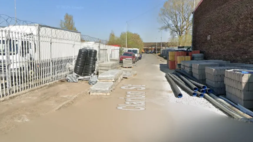
Commercial real estate in M12 centers on industrial units, logistics warehouses, and retail storefronts along Stockport Road. The retail corridor along Stockport Road provides high footfall for localized ethnic grocery stores, dining establishments, and service providers. Industrial parks like Cariocca Business Park offer starter units for small-to-medium enterprises requiring rapid access to the A57 highway. Land availability remains tight due to urban density, driving redevelopment of existing brownfield plots.
Lenders and underwriters evaluate M12 properties using standard urban appraisal metrics. Valuations consider house age, structural integrity of older brickwork, and local regeneration plans. Insurance rates remain aligned with typical inner-city urban profiles, factoring in localized flood risks along the Medlock river corridor and historical property crime data.
What Key Infrastructure and Transport Links Serve the M12 Area?
The M12 postal region possesses a highly integrated transport infrastructure network connecting residents directly to central Manchester and national road arteries. Principal arterial roads include the A6 Stockport Road and the A57 Hyde Road, both carrying high daily traffic volumes into the city core. Public bus transit dominates the corridor, with frequent bus routes operated by Stagecoach Manchester providing constant connectivity along Stockport Road. The A184 and inner ring roads allow commercial vehicles to bypass central traffic when transit heading toward the M60 orbital motorway is required.
Rail infrastructure within M12 features key local stations that facilitate commuter transport across Greater Manchester. Ashburys rail station serves as a main transit node in West Gorton, offering direct Northern Rail services to Manchester Piccadilly, Glossop, and Hadfield. Ardwick rail station provides localized access near the northern boundary, while Belle Vue station connects the eastern side toward Guide Bridge. These rail links allow travel to central employment districts in under ten minutes.
Healthcare and educational infrastructure are heavily represented within and adjacent to the M12 boundaries. Primary educational facilities include Plymouth Grove Primary School, Ashbury Meadow Primary School, and Varna Community Primary School. Secondary education is anchored by Manchester Academy, located along the western perimeter. Primary healthcare is provided by local general practice surgeries and health centers, with major regional care delivered nearby at the Manchester Royal Infirmary complex positioned along Oxford Road.
Utility and digital infrastructure across M12 have undergone significant modern upgrades. High-speed full-fibre broadband coverage has been expanded across the district by network providers like Openreach and Virgin Media. Electrical power distribution is managed by Electricity North West, while United Utilities oversees water supply and wastewater processing networks serving the dense urban housing stock.
How Does M12 Compare to Adjacent Manchester Postcode Districts?
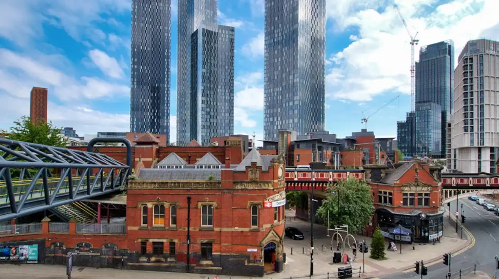
Comparing M12 to surrounding postal zones illustrates distinct variations in property prices, land use, and urban density. The district shares immediate boundaries with M1 (City Centre), M13 (Rusholme/Chorlton-on-Medlock), M18 (Gorton), and M19 (Levenshulme). While M1 is defined by high-density commercial towers and expensive modern apartments, M12 provides light industrial zones alongside low-rise housing. The M13 postcode features significant institutional footprint from university buildings and hospitals, leading to higher overall student densities than M12.
In comparison to eastern and southern neighbors like M18 and M19, M12 sits closer to the commercial core, yielding shorter transit times for commuters. M18 features more suburban residential layouts and larger manufacturing sites, resulting in slightly lower average property valuations than M12. M19 contains broader commercial high streets and traditional suburban housing, attracting families seeking long-term residential tenure.
| Postcode District | Primary Neighborhoods | Primary Property Types | Commute Time to City Centre | Relative Property Price Point |
| M12 | Ardwick, Longsight, West Gorton | Terraced houses, modern low-rise | 5 to 12 minutes | Moderate Inner-City |
| M1 | Piccadilly, Northern Quarter | High-rise apartments, converted mills | 0 to 5 minutes | Premium Central |
| M13 | Rusholme, Victoria Park | Student HMOs, converted period homes | 5 to 10 minutes | Moderate-High Student Market |
| M18 | Gorton, Abbey Hey | Semi-detached homes, traditional terraces | 12 to 20 minutes | Affordable Suburban |
| M19 | Levenshulme, Burnage | Victorian terraces, semi-detached houses | 10 to 18 minutes | Moderate Suburban |
Economic development across M12 benefits directly from overspill investment originating in the M1 city center sector. As land values rise in central zones, developers purchase brownfield sites in Ardwick and West Gorton for modern residential complexes. This creates a transition zone within M12 that bridges urban commercial development with outer suburban living.
Crime rate metrics, local amenities, and green space distribution also vary across these neighboring sectors. M12 contains urban parklands like Ardwick Green Park and West Gorton Community Park, providing dedicated green space absent in dense M1 zones. Retail diversity along M12’s Stockport Road mirrors the commercial vibrancy of M13’s Wilmslow Road, catering to diverse local communities through niche commercial offerings.
What Future Developments and Urban Regeneration Projects Are Planned for M12?
Urban planning initiatives in the M12 postal district focus on sustainable housing expansion, public space enhancement, and brownfield site remediation. Manchester City Council’s strategic regeneration frameworks target the Ardwick and West Gorton corridors for continued residential growth. The West Gorton Regeneration Initiative has already introduced climate-resilient neighborhood designs, incorporating green infrastructure, permeable paving, and natural drainage systems to mitigate urban heat and flood risk. Future phases aim to expand these environmental standards to adjacent housing sectors.
Industrial modernization represents a major planning focus for the M12 6 sector near Ardwick. Planning policies encourage the transition of obsolete industrial storage yards into high-tech enterprise hubs, creative workspaces, and modern logistics centers. These developments aim to create local employment opportunities while improving the visual layout of key corridors along Hyde Road.
Transport infrastructure improvements around M12 align with Greater Manchester’s Bee Network expansion plan. This initiative focuses on integrating bus routes, active travel paths, and rail networks into a single unified transit system. Upgraded cycle lanes along Stockport Road and Hyde Road are designed to reduce private vehicle usage, lower carbon emissions, and improve pedestrian safety throughout the postal district.
Residential expansion project pipelines indicate steady growth in housing supply over the coming decade. Private developers continue to acquire light industrial plots to build build-to-rent (BTR) housing schemes targeting young workers. These long-term regeneration efforts position M12 as a key strategic growth zone within Manchester’s overall urban expansion plans.
Frequently Asked Questions
Which specific areas fall within the M12 postcode district?
The M12 postcode district primarily includes Ardwick, Longsight, West Gorton, and Belle Vue in Greater Manchester. These areas sit directly southeast of Manchester City Centre along major transport routes like Stockport Road and Hyde Road.
How far is the M12 area from Manchester City Centre?
The M12 district is located approximately 1.5 to 2.5 miles southeast of central Manchester. Commute times take between 5 to 15 minutes by bus, train, or car depending on the specific sector.
What railway stations directly serve the M12 postcode?
Ashburys, Ardwick, and Belle Vue rail stations directly serve the M12 postal region. These stations provide regular commuter services into Manchester Piccadilly and outer regional destinations.
Is M12 considered a good area for property investment?
M12 offers attractive property yields for real estate investors due to lower entry prices than central Manchester. High tenant demand is driven by local health workers, students, and city center commuters.
Which local council manages services for the M12 postcode?
The entire M12 postcode district falls under the local government administration of Manchester City Council. The council oversees council tax, planning permits, waste collections, and local park maintenance.