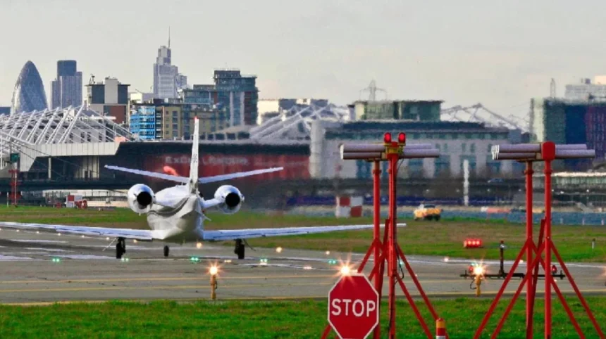
The driving distance from Manchester to London is approximately 208 miles via the M6 and M1 motorways. The exact mileage varies between 200 miles and 215 miles depending on the precise starting point, chosen route, and final destination address.
- How Many Miles Manchester to London by Train?
- What Is the Flight Distance Between Manchester and London?
- What Is the Walking and Cycling Distance Between Manchester and London?
- How Has the Transport Distance and Time Changed Historically?
- Frequently Asked Questions
- How long does it actually take to drive from Manchester to London with traffic?
- Is it cheaper to take the train or drive between Manchester and London?
- What is the most scenic driving route from Manchester to London?
- Which train station in London goes directly to Manchester?
- Can you easily do a day trip from Manchester to London by train?
The standard road driving route between Manchester city centre and central London relies primarily on the UK strategic road network managed by National Highways. Vehicles departing central Manchester typically travel south via the A57 or A556 to join the M6 motorway at Junction 19 near Knutsford. Drivers continue south along the M6 motorway through Cheshire and Staffordshire until reaching Junction 8 near Birmingham. At this interchange, traffic transitions onto the M6 Toll or continues along the standard M6 to connect with the M1 motorway at Junction 19, known as the Catthorpe Interchange in Northamptonshire.
The southern leg of the journey follows the M1 motorway directly into North London, terminating at the Staples Corner interchange where the A406 North Circular Road and A41 converge. An alternative western route utilizes the M40 motorway, branching off the M6 via the M42 south of Birmingham. This route covers approximately 212 miles and enters Greater London via the A40 through Uxbridge and Shepherd’s Bush. Drivers choosing the eastern route via the A1(M) through Lincolnshire and Cambridgeshire will cover a total distance of 225 miles. The choice of route impacts total vehicle fuel consumption, toll fees, and journey duration based on real-time traffic conditions.
Urban driving conditions at both ends of the route add distance and time to the primary motorway segment. Navigating from Manchester Piccadilly through inner suburban arterial roads adds roughly 4 miles before reaching the motorway network. Similarly, driving from the M1 terminus at Hendon into central London locations such as Charing Cross or the City of London adds 9 miles of dense urban navigation. Road transport statistics show that average non-peak driving times range between 4 hours and 4 hours and 30 minutes, whereas peak morning congestion can increase total transit times beyond 5 hours and 30 minutes.
How Many Miles Manchester to London by Train?
The railway distance from Manchester Piccadilly to London Euston is 184 miles along the West Coast Main Line. High-speed passenger rail services complete this journey non-stop in approximately 2 hours and 6 minutes under normal operational conditions.
Rail transport between Manchester and London represents the most direct geographic connection between the two metropolitan areas. Trains depart from Manchester Piccadilly station in Greater Manchester and travel along the Manchester spur of the West Coast Main Line. The line runs south through Cheshire, joining the primary West Coast Main Line corridor at Colwich Junction or Crewe. The track infrastructure is managed by Network Rail and is fully electrified using 25 kV AC overhead lines, supporting maximum train operating speeds of up to 125 miles per hour.
Passenger rail services on this line pass through key geographic waypoints including Wilmslow, Macclesfield, Stoke-on-Trent, Stafford, Rugby, and Milton Keynes Central before terminating at London Euston station. Avanti West Coast operates the primary direct express services, utilizing Class 390 Pendolino electric multiple units equipped with tilting technology that allows higher cornering speeds along curved track sections. London Northwestern Railway provides secondary regional services that cover the same line distance but include additional intermediate stops, resulting in a total journey time of roughly 3 hours and 15 minutes.
The railway alignment is shorter than the road network distance by approximately 24 miles because rail corridors avoid major urban bypasses around the West Midlands. Historical railway engineering decisions in the nineteenth century created direct rights-of-way through natural topographical gaps in the Midlands. The electrification and modernization of the West Coast Main Line under British Rail during the 1960s, combined with subsequent infrastructure upgrades in the 2000s, optimized the track geometry for passenger transport. Modern rail signaling systems permit high train frequency, with up to three direct departures every hour during peak operating periods.
What Is the Flight Distance Between Manchester and London?
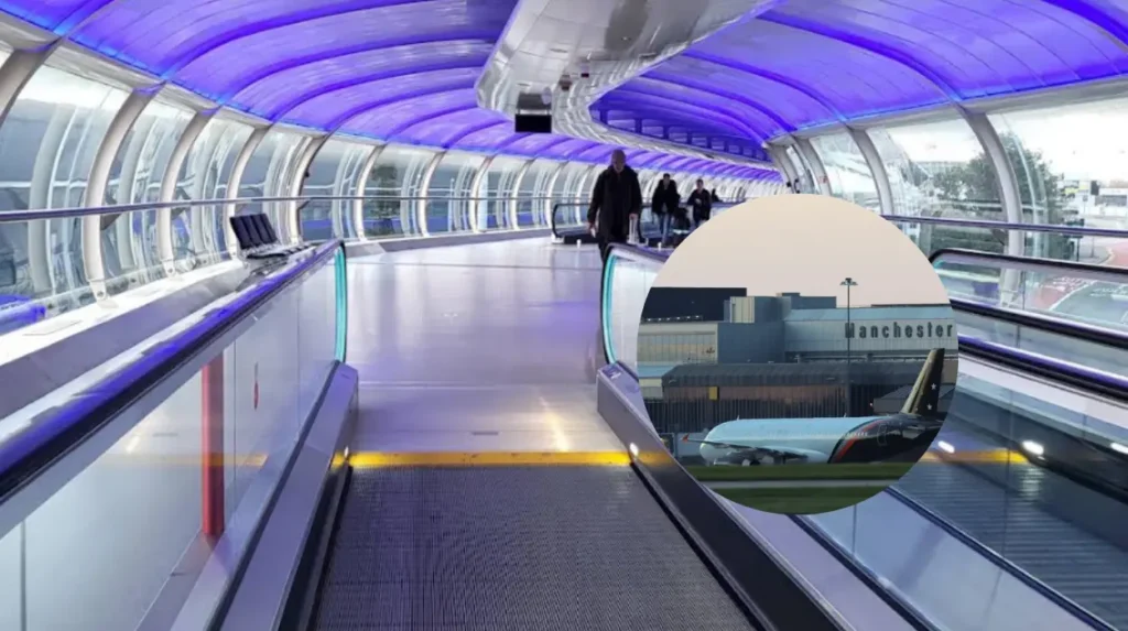
The straight-line flight distance from Manchester Airport to London Heathrow Airport is 151 miles. Commercial flights operating this domestic route cover an actual flight path distance of roughly 170 miles due to air traffic routing procedures.
Air travel between the two cities connects Manchester Airport, located 9 miles south of Manchester city centre, with major airport hubs in the Greater London area. The direct spatial distance between the geographic coordinates of both cities is 163 miles, but airport-to-airport direct measurements differ based on terminal location. Commercial aviation operations between Manchester and London Heathrow cover an direct airway distance designed to manage civil airspace constraints over the English Midlands. Flight paths must navigate restricted military airspace zones and commercial air corridors controlled by NATS, the United Kingdom air navigation service provider.
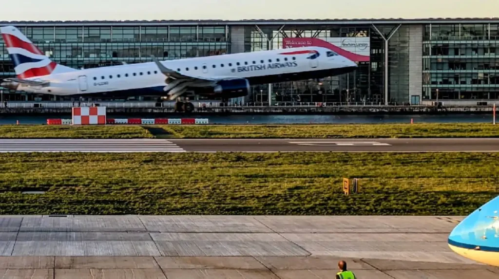
Commercial airlines operating domestic flights between Manchester Airport and London Heathrow Airport typically assign short-haul aircraft such as the Airbus A320 family or Embraer 190 jets. The scheduled airborne flight time between take-off and landing is approximately 35 to 45 minutes. However, total gate-to-gate travel duration reaches 1 hour and 15 minutes when including taxiing times at both airfields. Aircraft departing Manchester track south over Staffordshire and Oxfordshire, following controlled arrival procedures into the London TMA airspace before joining the final landing approach pattern.
Environmental considerations and transport infrastructure developments have shifted regional travel preferences toward rail transport for this specific corridor. The high density of rail connections combined with airport security procedures makes air travel less time-efficient for city-centre to city-centre passengers. Total journey time for air passengers, accounting for airport check-in requirements, security screening, baggage handling, and ground transport to central London, typically exceeds 4 hours. Domestic flight operations primarily serve transfer passengers connecting to international long-haul flights at London Heathrow rather than point-to-point domestic travelers.
What Is the Walking and Cycling Distance Between Manchester and London?
The shortest non-motorized walking and cycling route between Manchester and London is approximately 195 miles. This distance utilizes national cycle networks, canal towpaths, and designated public rights-of-way that bypass all high-speed motorways.
Pedestrians and cyclists traveling between Manchester and London must follow non-motorized transport corridors designated by local authorities and charitable organizations like Sustrans. The National Cycle Network routes provide dedicated paths that avoid major trunk roads and motorways where non-motorized traffic is legally prohibited. A standard long-distance cycling route follows National Cycle Network Route 5 and Route 6, heading south from Greater Manchester through Cheshire, Shropshire, and the West Midlands. Cyclists then join Route 51 through Buckinghamshire before entering North London through Hertfordshire via suburban parkways and greenways.
Walking routes often utilize the historic canal network constructed during the British Industrial Revolution. The Grand Union Canal and the Trent and Mersey Canal provide continuous public footpaths that connect North West England directly to London. Walkers departing Manchester access the Macclesfield Canal or the Bridgewater Canal, proceeding south toward the Potteries and joining the Grand Union Canal at Fradley Junction. This continuous towpath route enters London at Paddington Basin, offering a flat but longer physical distance of roughly 220 miles due to the meandering nature of historic waterways.
Long-distance non-motorized travel requires structured staging and physical preparation due to terrain variations across the Peak District fringes and the Dunstable Downs. Cyclists traveling at an average speed of 12 miles per hour complete the 195-mile journey in 16 to 18 hours of continuous riding, typically split over two or three days. Long-distance walkers covering an average of 15 miles per day require between 13 and 15 days to complete the trek. Route planning must account for surface conditions, public rights-of-way designations, urban navigation through the West Midlands, and seasonal daylight availability.
How Has the Transport Distance and Time Changed Historically?
Historical travel distance between Manchester and London remained constant at 200 miles, but travel time decreased from four days by horse stagecoach in 1750 to two hours by high-speed electric train today.
Before the development of modern transport engineering, travel between Lancashire and Middlesex depended on unpaved turnpike roads and horse-drawn transport. In the mid-eighteenth century, the Flying Coach service established regular passenger transport between Manchester and London, covering a road distance of roughly 200 miles. These early stagecoaches operated at average speeds of 4 to 5 miles per hour, requiring travelers to make overnight stops at coaching inns located in towns such as Derby, Northampton, and Dunstable. Turnpike trusts subsequently improved road surfaces, reducing coach travel times to approximately 24 hours by the early 1800s.
The introduction of steam locomotive technology during the Industrial Revolution transformed intercity travel efficiency and network geometry. The opening of the Grand Junction Railway in 1837 and the completion of the London and Birmingham Railway connected Manchester to London Euston via Crewe and Birmingham. This initial rail alignment covered 210 miles and reduced travel times to under 9 hours. Subsequent construction of direct bypass tracks by the London and North Western Railway eliminated northern detours, shortening the operational rail distance to the current 184 miles and reducing steam express transit times to 4 hours by 1900.
Motorway construction in the mid-twentieth century established the modern road transport corridor. The opening of the first section of the M1 motorway in 1959 and the subsequent completion of the M6 motorway during the 1960s and 1970s bypassed congested historic market towns along the old A5 trunk road. The electrification of the West Coast Main Line in 1966 further reduced train journey times below 2 hours and 30 minutes. Ongoing transport investments, including smart motorway technology upgrades and signaling modernization, continue to refine capacity and efficiency across this primary national economic corridor.
Related Article: Planning air travel out of Greater Manchester? Read our comprehensive guide on How Long Is the Flight from Manchester to Goa? for detailed flight durations, routing, and airline information.
Read More: Exploring the Greater Manchester area by road or bike? Check out the latest local travel updates on the Hale Cyclist Police Witness Appeal to stay informed about regional road safety.
Frequently Asked Questions
How long does it actually take to drive from Manchester to London with traffic?
Driving between Manchester and London typically takes between 4 hours and 5 hours under normal road conditions. During peak morning or Friday afternoon traffic, heavy congestion on the M6 near Birmingham and the M1 entering London can extend the total driving time to over 6 hours.
Is it cheaper to take the train or drive between Manchester and London?
Driving is generally cheaper for groups or families because fuel and toll costs are shared among passengers. For solo travelers, booking Advance rail tickets several weeks early often provides a cheaper option than paying for single-vehicle petrol, M6 Toll charges, and London congestion fees.
What is the most scenic driving route from Manchester to London?
The most scenic driving route avoids the M1 and M6 motorways by traveling through the Peak District via the A6 or taking the M40 motorway through the Cotswolds. This option adds about 20 miles and an hour of travel time but offers views of rural landscapes and historic market towns.
Which train station in London goes directly to Manchester?
All direct trains from London to Manchester depart exclusively from London Euston station and arrive at Manchester Piccadilly station. These express passenger services are operated primarily by Avanti West Coast and run multiple times every hour throughout the day.
Can you easily do a day trip from Manchester to London by train?
Yes, a day trip is straightforward because the direct train takes just over 2 hours each way. Departing Manchester Piccadilly early in the morning allows travelers to spend 8 to 10 hours in central London before taking an evening return train to Manchester.