The primary walking routes near Altrincham town centre include the Bridgewater Canal towpath, the Dunham Massey estate loop, Stamford Park paths, and the Bowdon Church heritage walk. These routes range from 1 to 6 miles and feature level terrain.
- How Does the Bridgewater Canal Towpath Provide an Easy Route from the Town Centre?
- What Features Make the Dunham Massey Loop an Accessible Walk from Altrincham?
- Why Is Stamford Park an Ideal Urban Walking Option Near Central Altrincham?
- How Can Walkers Explore Historic Bowdon on a Short Route from Altrincham?
- Frequently Asked Questions
- What is the easiest flat walk starting directly near Altrincham town centre?
- Are walking routes near Altrincham suitable for dog walkers?
- How far is the walk from Altrincham Interchange to Dunham Massey?
- Can you access public transport along these Altrincham walking trails?
- Are the walking paths around Altrincham accessible for strollers and wheelchairs?
Walking routes in Altrincham provide access to historic green spaces, waterways, and conservation areas across the Borough of Trafford. The town centre sits at an elevation of 38 metres above sea level, making the surrounding footpaths mostly flat and suitable for walkers of all fitness levels. The linear layout of the local transport hub, Altrincham Interchange, acts as the central starting point for pedestrians accessing these trails.
Pedestrian infrastructure in Trafford connects suburban streets directly to rural footpaths without requiring personal vehicular transport. The public rights of way system links Altrincham to the Cheshire countryside, integrating paved pavements with unpaved canal banks and park trails. These routes serve local commuters, recreational walkers, and visitors seeking outdoor access near commercial zones.
The local geography features major landscape features, such as the River Bollin valley and the historic canal networks constructed during the Industrial Revolution. The integration of green infrastructure protects urban wildlife corridors while offering structured walking spaces. Local authority management ensures these public paths remain open year-round for active travel and recreation.
Walking networks around the town centre link historical landmarks, public parks, and residential neighbourhoods into circular and linear paths. These routes allow pedestrians to transition from urban retail streets to natural parklands within 15 minutes of walking. The accessibility of these paths supports daily physical activity and community engagement across the region.
How Does the Bridgewater Canal Towpath Provide an Easy Route from the Town Centre?
The Bridgewater Canal towpath provides a flat, traffic-free walking route heading north toward Sale and west toward Lymm. It offers a level, gravelled surface accessible directly from Navigation Road and Seamons Road bridges within 1 mile of the centre.
The Bridgewater Canal was completed in 1761 under the direction of Francis Egerton, the 3rd Duke of Bridgewater, to transport coal from Worsley to Manchester. Today, the canal towpath forms part of the national Bridgewater Way regional walking network. The section running through Altrincham provides a continuous, motor-vehicle-free pathway designed for low-impact outdoor activity.
Walkers accessing the towpath from Altrincham town centre follow Stamford New Road north onto Navigation Road to reach the canal bridge. Heading west along the water leads toward Dunham Town and Lymm over a distance of 3.2 miles. Heading north along the canal leads toward Timperley, Broadheath, and Sale Water Park over a distance of 4.5 miles.
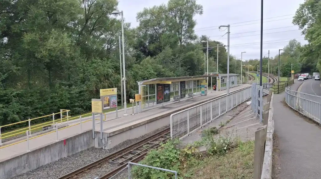
The towpath surface consists of crushed stone, compacted gravel, and asphalt sections suitable for walking shoes, pushchairs, and wheelchairs. Canal water levels remain static due to the lack of locks on this stretch, maintaining an even bank elevation along the entire trail. Visual markers include historic brick bridges, narrowboats, and natural waterside vegetation.
The towpath connects to broader footpaths, including the Trans Pennine Trail and the Cheshire Ring canal route. The route supports urban wildlife, providing habitats for kingfishers, mallards, swans, and coarse fish species. Regular maintenance by the Bridgewater Canal Company keeps the towpath clear and operational for public use throughout every season.
What Features Make the Dunham Massey Loop an Accessible Walk from Altrincham?
The Dunham Massey loop features a 3-mile paved and gravel trail connecting Altrincham town centre to a historic deer park. It includes gentle gradients, public seating, open grasslands, and centuries-old ancient woodland paths accessible year-round.
Dunham Massey is a 300-acre historic estate managed by the National Trust, situated 1.5 miles west of central Altrincham. The walk begins at Altrincham Interchange, leading west via Market Street, Dunham Road, and Highgate Road to reach the estate gates. Pedestrians enter the parkland through designated public footpaths crossing the Dunham Forest Golf Club grounds.
The park features an intact 18th-century landscape parkland containing a herd of fallow deer that roam freely across the fields. The primary walking loop inside the estate covers 2.5 miles of broad, firm avenues flanked by historic beech and oak trees. These avenues feature flat surfaces composed of bound gravel, reducing slip hazards during damp weather conditions.
Key historic elements along the route include Dunham Massey Hall, built in 1732, the Grade I listed Stables building, and an 18th-century sawmill. Pedestrians can utilize public facilities located at the visitor centre, which includes accessible toilets, baby changing areas, and food outlets. The estate enforces strict dog-walking guidelines to safeguard native wildlife and deer herds.
The return walk to the town centre follows Charcoal Road onto the Bridgewater Canal towpath, creating a complete 6-mile circular route. This loop combines suburban pavement walking, woodland tracks, and canalside paths into a single trip. The entire route features clear directional signage provided by local highway authorities and the National Trust.
Why Is Stamford Park an Ideal Urban Walking Option Near Central Altrincham?
Stamford Park provides a 16-acre Grade II listed urban park setting featuring smooth asphalt paths, formal gardens, and recreational areas. It is located 0.5 miles from the town centre, offering quick, fully accessible walks.
Stamford Park was opened to the public in 1880 to provide green space for the industrial workforce of Altrincham and Hale. The park was designed by landscape architect John Shaw and remains a preserved example of Victorian public park planning. Located between Stamford Park Road and Charter Road, the park lies within a 10-minute walk from the central shopping district.
The perimeter walking loop inside Stamford Park measures 0.8 miles on level, tarmacadam footpaths. These wide paths accommodate double buggies, mobility scooters, and pedestrians requiring smooth surfaces free of mud or tree roots. The park grounds feature formal flower display beds, mature ornamental trees, open lawns, and a central duck pond.
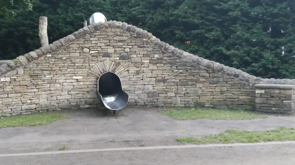
Public amenities inside the park boundaries include recreational tennis courts, bowling greens, a children’s play area, and public benches. The park perimeter is bounded by traditional cast-iron railings and grand stone entry gates reflecting late 19th-century architecture. Municipal park rangers oversee site maintenance, path repairs, and tree safety management.
The short distance and clear layout make Stamford Park suitable for short walks, exercise routines, and outdoor recreation. The park connects to surrounding residential avenues in Hale, allowing walkers to extend their routes into quiet suburban neighborhoods. The site operates open access policies every day from dawn until dusk.
How Can Walkers Explore Historic Bowdon on a Short Route from Altrincham?
Walkers can explore historic Bowdon via a 2-mile uphill route starting at The Downs in Altrincham. The path features historic cobbles, Victorian villas, ancient churchyards, and elevated viewpoints over the Cheshire Plain.
Bowdon is an ancient hilltop settlement located 0.8 miles south of Altrincham town centre. The walking route begins at the historic core of Altrincham on The Downs, ascending gently along Bowdon Road toward Saint Mary’s Church. The elevation gains 25 metres over 0.5 miles, providing a mild incline compared to the flat canal routes.
The destination at the top of the hill is the Church of Saint Mary the Virgin, a historic site with parish roots dating back to the Anglo-Saxon era. The current building, completed in 1860 by architect G.E. Street, stands on ancient foundations mentioned in the Domesday Book of 1086. The surrounding churchyard features public footpaths wind through protected yew trees and historic ledger gravestones.
The walking route passes notable residential architecture, including grand Victorian and Edwardian merchant mansions built during the 19th century. Pedestrians walk along paved pavements, cobbled lanes, and quiet conservation-area roads lined with stone walls. The elevated position of Bowdon Hill offers clear views facing south toward the countryside of northern Cheshire.
The route returns to Altrincham town centre via Green Walk and Stamford Road, descending smoothly back to the commercial district. This 2-mile circuit combines local history, exercise, and urban heritage within a one-hour walking window. The entire route follows public highways and designated footpaths maintained by Trafford Council.
Frequently Asked Questions
What is the easiest flat walk starting directly near Altrincham town centre?
The Bridgewater Canal towpath is the easiest flat walk starting near the town centre. Access points at Navigation Road offer level, gravelled surfaces free from motor traffic, making it ideal for easy strolls.
Are walking routes near Altrincham suitable for dog walkers?
Yes, most local routes welcome dogs, including the Bridgewater Canal towpath and Stamford Park. Dunham Massey allows dogs on leads along designated paths, with off-lead areas available in North Park.
How far is the walk from Altrincham Interchange to Dunham Massey?
The walk from Altrincham Interchange to the main entrance of Dunham Massey is approximately 1.5 miles one way. A full circular route through the estate and back to town measures roughly 6 miles.
Are the walking paths around Altrincham accessible for strollers and wheelchairs?
Stamford Park features wide, paved tarmac paths that are fully accessible for strollers and wheelchairs. Sections of the Bridgewater Canal towpath and main avenues inside Dunham Massey also offer firm, even surfaces suitable for mobility equipment.