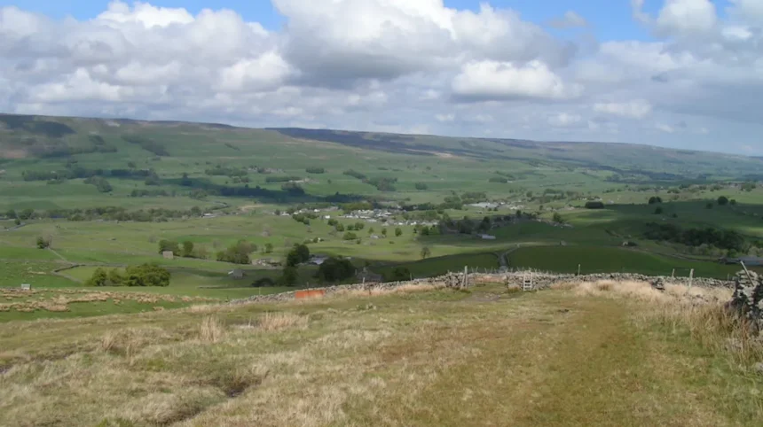
The Bolton countryside features varied terrain ranging from the West Pennine Moors to ancient woodland valleys that support diverse flora and fauna across six designated local nature reserves. Bolton Metropolitan Borough Council maintains over 700 public rights of way covering approximately 300 miles of interconnected pathways across moorland, farmland, and urban fringe parks. Natural England classifies this regional landscape as part of the Lancashire and Amounderness Plain and the Southern Pennines character areas, which combine gritstone geology with peatland habitats. Local conservation organizations record more than 150 bird species across these rural corridors including the curlew, lapwing, and meadow pipit during breeding seasons.
- Which historical contexts and industrial heritage sites shape Bolton walking trails?
- What are the primary walking route classifications available for different fitness levels near Bolton?
- How does infrastructure maintenance and seasonal weather impact Bolton trail conditions?
- What practical safety preparations and navigation tools are essential for Bolton countryside walks?
- Frequently Asked Questions
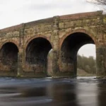
The local topography ranges from low-lying river valleys at 50 meters above sea level to upland moors reaching 456 meters at Winter Hill. Regional precipitation averages 1,100 millimeters annually, which sustains numerous streams, reservoirs, and wetland ecosystems across the borough. Walking infrastructure utilizes traditional stiles, stone bridges, and wooden kissing gates installed by local volunteer groups working alongside council rangers. Historical industrial heritage remains visible through abandoned stone quarries, disused railway lines, and ancient packhorse trails intersecting the contemporary footpath network.
The regional topography developed through centuries of agricultural land management and industrial activity that shaped the contemporary rural fringe surrounding the urban core. Local geological formations comprise Carboniferous limestone, Millstone Grit, and Coal Measures that create distinct soil profiles influencing local vegetation patterns and agricultural productivity. Upland areas support extensive heather moorland communities dominated by Calluna vulgaris and Eriophorum species while sheltered valleys foster broadleaved woodlands of oak, ash, and birch. Water management systems constructed during the nineteenth century, including the Rivington chain of reservoirs, create permanent open water habitats for migratory waterfowl and aquatic life. Public access rights are protected under the Countryside and Rights of Way Act 2000, which designates open access land across specific moorland sectors above Bolton. Local authority maintenance programs address drainage issues, vegetation clearance, and erosion control to ensure year-round accessibility for recreational walkers of varying capabilities. Environmental monitoring conducted by the Greater Manchester Ecology Unit indicates stable populations of protected mammals such as brown hares and roe deer within these rural zones. Regional planning policies strictly control commercial development within the green belt to preserve the ecological integrity and recreational value of the Bolton countryside for future generations.
Which historical contexts and industrial heritage sites shape Bolton walking trails?
Bolton walking trails incorporate significant industrial heritage landmarks including nineteenth-century textile mill water systems, Roman roads, and abandoned coal mining infrastructure that reflect the region’s socio-economic evolution. The construction of the Rivington reservoirs between 1901 and 1925 by Thomas Hawksley for the Liverpool Corporation transformed the local valley into a vast engineering project employing thousands of workers. Historical turnpike trusts established during the eighteenth century created stone-paved packhorse routes such as Belmont Road and Scout Road, which facilitated trade between Lancashire and Yorkshire industrial centers.
Archaeological surveys conducted by the Greater Manchester Archaeological Advisory Service identify numerous prehistoric barrows, medieval boundary stones, and industrial ruins adjacent to modern footpaths. The Leverhulme estate development in the early twentieth century introduced landscaped gardens, ornamental lakes, and public walking follies designed by Thomas Mawson around Rivington for industrial workers. Industrial archaeology enthusiasts can examine surviving engine houses, tramway inclines, and stone aqueducts that document the transition from cottage industries to mechanized factory production in Lancashire. Local heritage preservation trusts collaborate with landowners to interpret these historical sites through educational signage, guided walking tours, and digital archives accessible via mobile devices.
The industrial legacy of Bolton directly influenced the creation of public access networks as mill owners, landowners, and municipal authorities negotiated rights of way across private estates and common land. Worker welfare movements in the late nineteenth and early twentieth centuries campaigned for open-air access, leading to mass trespasses and legal settlements that established enduring recreational paths. The legacy of Lord Leverhulme remains particularly prominent around Rivington Terraced Gardens, where extensive masonry terracing, Japanese gardens, and pigeon towers provide unique architectural waypoints for walkers.
Agricultural history is represented through drystone walls constructed from local gritstone, traditional farmsteads dating to the seventeenth century, and ancient fold yards connected by sunken lanes. Educational programs managed by regional museums utilize these outdoor assets to teach local history, geology, and environmental science to school groups and adult learners. Preservation legislation, including Listed Building designations and Scheduled Monument protections, safeguards vulnerable historical structures from deterioration while allowing public viewing from designated footpaths. The convergence of natural geography and human intervention creates a culturally rich walking environment where every trail tells a specific story of regional development and labor.
What are the primary walking route classifications available for different fitness levels near Bolton?
Walking routes near Bolton are categorized into three distinct fitness classifications comprising low-intensity valley walks, moderate undulating hill routes, and strenuous moorland expeditions covering distances from two to twelve miles. Low-intensity routes such as the Moses Gate Country Park circuit offer flat, paved paths suitable for beginners, families with pushchairs, and individuals recovering from injury or managing chronic health conditions. Moderate routes like the Jumbles Reservoir loop provide manageable inclines, well-maintained gravel tracks, and distance options ranging from three to six miles with elevation gains under 200 meters.
Strenuous routes including the Winter Hill and Rivington Pike traverse rugged, uneven moorland terrain with steep gradients, exposed ridges, and elevation gains exceeding 400 meters over eight miles. Each classification requires specific preparation regarding footwear, navigation skills, hydration, and weather monitoring to ensure safety and comfort throughout the duration of the excursion. Local walking groups, tourism boards, and council publications utilize standardized grading systems based on distance, terrain type, total ascent, and estimated completion times. Emergency services advise all participants to match their personal fitness level to the chosen trail difficulty to prevent exhaustion, navigation errors, and preventable mountain rescue callouts.
The implementation of these classification standards helps mitigate risks associated with sudden weather changes on exposed upland areas where visibility can drop rapidly due to low cloud cover and mist. Beginners utilizing low-intensity paths benefit from continuous mobile phone coverage, accessible parking facilities, and proximity to refreshment kiosks and public restrooms within municipal parks. Moderate trail users encounter mixed surfaces including muddy agricultural tracks, wooden step stiles, and livestock grazing areas that require situational awareness and adherence to the Countryside Code.
Advanced hikers tackling strenuous moorland routes must carry map and compass equipment, waterproof garments, emergency rations, and a fully charged communication device due to remote conditions. Regional health initiatives promoted by NHS Greater Manchester encourage residents to utilize these graded routes for physical activity programs designed to combat cardiovascular disease and obesity. Quantitative assessments of calorie expenditure indicate that a moderate walk burns approximately 300 to 500 calories per hour depending on body weight, terrain steepness, and walking speed. Comprehensive route descriptions published by authorized bodies provide exact waypoints, grid references, and public transport links to facilitate seamless trip planning for diverse demographic groups.
How does infrastructure maintenance and seasonal weather impact Bolton trail conditions?
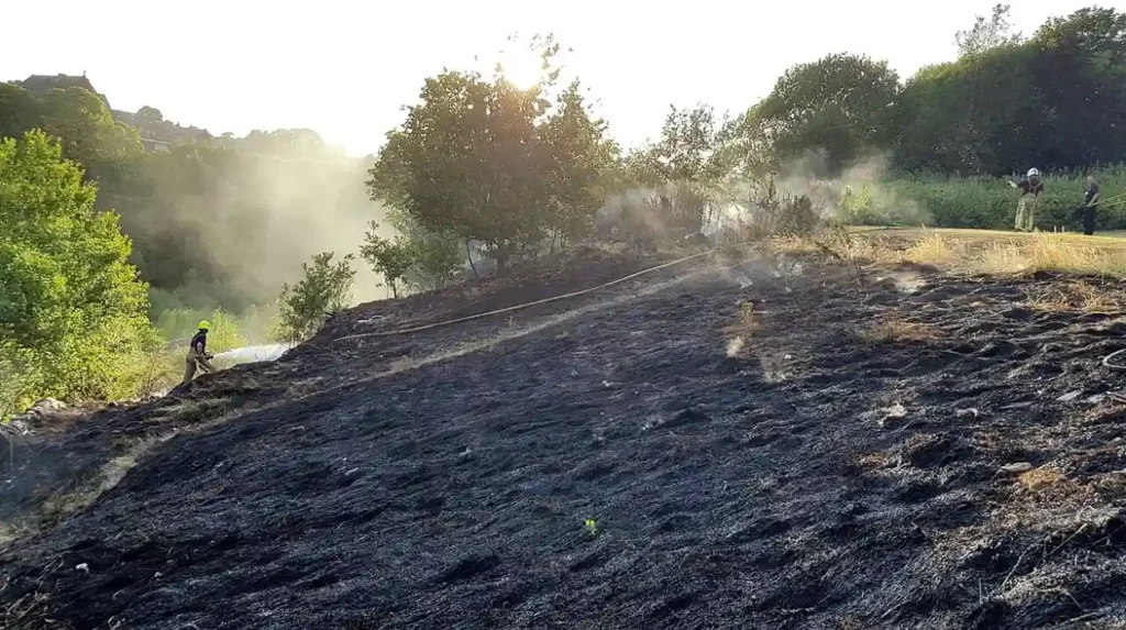
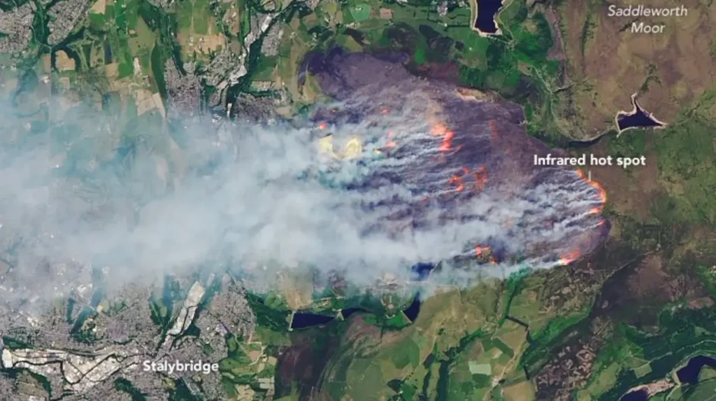
Bolton trail conditions fluctuate significantly according to seasonal precipitation levels, freeze-thaw cycles, and ongoing infrastructure maintenance executed by local authorities, voluntary groups, and private landowners. Heavy autumn and winter rainfall exceeding 100 millimeters per month frequently creates waterlogged sections, deep mud, and localized flooding along low-lying river valleys and unpaved agricultural tracks. Summer droughts cause sun-baked clay soils to crack, creating trip hazards, while dry moorland conditions increase wildfire risks associated with discarded smoking materials and barbecues. Municipal maintenance teams deploy crushed stone, drainage pipes, and timber boardwalks across vulnerable path segments to prevent soil erosion and maintain pedestrian access throughout the year.
Winter frost and snow accumulation transform exposed upland routes into hazardous environments requiring microspikes, trekking poles, and winter navigation experience for safe completion. Community volunteer organizations, such as the Ramblers Association and Bolton Mountain Rescue Team, contribute hundreds of hours annually to clear fallen branches, repair gates, and update directional signage. Local authority websites publish real-time path closure notices and weather advisories to inform walkers of temporary hazards resulting from forestry operations, severe storms, or livestock management.
The structural integrity of footpaths depends heavily on proactive management strategies that balance heavy recreational footfall with ecological conservation of sensitive habitats such as blanket bogs and nesting grounds. Soil compaction caused by intensive use damages delicate root systems and accelerates water runoff, leading to widened paths and accelerated erosion on steep slopes. Conservation grazing programs utilizing hardy sheep and cattle breeds help manage vegetation height naturally without heavy machinery, reducing soil disturbance along designated rights of way.
Bridge structures crossing the River Croal and Bradshaw Brook undergo structural engineering inspections every five years to ensure load-bearing safety for pedestrians and equestrian users. Winter maintenance protocols prioritize gritting and snow clearing around primary park car parks while remote moorland tracks remain unserviced, placing responsibility on the individual. Understanding historical weather patterns helps walkers select appropriate footwear, such as waterproof walking boots with Vibram soles, to navigate variable terrain without sustaining injuries. Collaborative funding streams involving National Lottery grants, council budgets, and landowner contributions finance major path restoration projects across the West Pennine Moors Special Area of Conservation.
What practical safety preparations and navigation tools are essential for Bolton countryside walks?
Essential safety preparations for Bolton countryside walks include carrying a physical ordnance survey map, a magnetic compass, a mobile power bank, first aid supplies, and waterproof outer garments. Navigation across the West Pennine Moors requires proficiency in reading Ordnance Survey Explorer Map 287 (West Pennine Moors), which details contour lines, public rights of way, and boundary markers at a scale of 1:25,000. Mobile navigation applications such as OS Maps, Komoot, and AllTrails provide digital GPS tracking, but electronic devices remain vulnerable to battery failure and signal loss in remote valleys. Emergency contact procedures require participants to dial 999 or 112 and request Mountain Rescue if an injury occurs in an inaccessible upland location far from paved roads. Carrying a minimum of one liter of water per person, high-energy snacks, emergency foil blankets, and a whistle ensures preparedness for unexpected delays or weather deterioration. Informing a reliable secondary contact of the intended route, parking location, and expected return time establishes a vital safety protocol for solo and group walkers alike. Adhering to the Countryside Code involves keeping dogs on short leads near livestock, closing gates behind you, and carrying all litter home to protect wildlife and farming operations.
Upland environments near Winter Hill and Turton Moor experience microclimates where temperatures can drop by five degrees Celsius compared to urban Bolton, accompanied by severe wind chill factors. Weather forecasting tools provided by the Met Office Mountain Weather service offer accurate wind speed, freezing level, and visibility predictions specifically tailored for northern upland regions. Footwear selection must prioritize ankle support, waterproof membranes, and deep tread patterns to prevent slips on wet gritstone boulders and muddy farm tracks.
Carrying a headlamp with spare batteries is critical for walks initiated during late afternoon hours when winter daylight fades rapidly after 4:00 PM. Group leaders should conduct pre-walk equipment checks to verify that all participants possess adequate clothing layers, including moisture-wicking base layers and windproof jackets. Understanding the legal rights of landowners and the restrictions governing open access land prevents inadvertent trespass and maintains positive relations with local farming communities. Comprehensive preparation directly correlates with a successful, enjoyable, and incident-free walking experience across the diverse natural landscapes surrounding Bolton.
Frequently Asked Questions
What are the best flat walks near Bolton for beginners or families?
Beginner-friendly flat walks near Bolton include the Moses Gate Country Park circuit, the Jumbles Reservoir lower track, and the Leverhulme Park riverside trail. These routes feature paved or well-compacted gravel surfaces, minimal elevation changes, and convenient access to parking, public restrooms, and refreshment facilities. Walkers can complete these loops in under two hours while enjoying scenic views of open water, mature woodlands, and local wildlife habitats.
How do I prepare for a winter hike on the West Pennine Moors?
Winter hiking on the West Pennine Moors requires thermal layering, waterproof outerwear, robust walking boots, a charged mobile phone, a power bank, and a physical Ordnance Survey map with a compass. Upland temperatures drop sharply with severe wind chill, and daylight hours are significantly shorter, necessitating an early start. Walkers should monitor Met Office mountain forecasts closely and inform a contact person of their exact route before departure.
Are dogs allowed on all public footpaths around Bolton?
Dogs are permitted on all public rights of way and open access land around Bolton, but they must be kept on a short lead of two meters or less near livestock between March 1 and July 31. Owners must clean up after their pets and dispose of waste bags responsibly in designated bins or take them home. Certain stile configurations may require lifting smaller dogs, while larger breeds should be agile enough to navigate standard gate latches.
Where can I find emergency assistance if I get lost or injured on the moors?
Emergency assistance on Bolton moors is obtained by calling 999 or 112 to request police and Mountain Rescue services, particularly Bolton Mountain Rescue Team. Walkers should be prepared to provide their exact Ordnance Survey grid reference or use smartphone location apps like What3Words to pinpoint their coordinates. Staying calm, finding shelter from the wind, and preserving mobile phone battery life are critical priorities while waiting for rescue personnel to arrive.